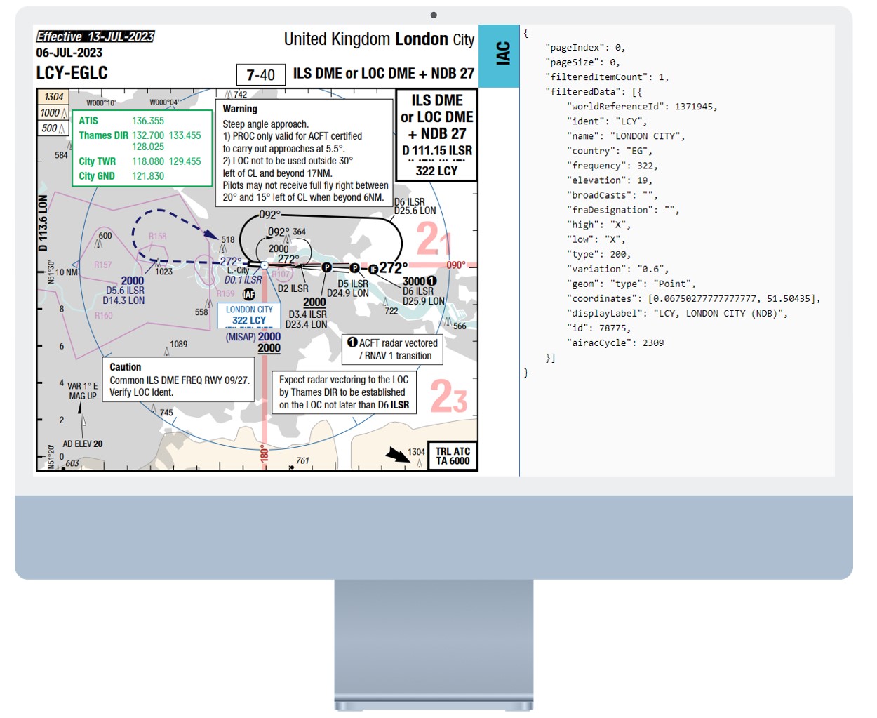
Charting Data API: Aeronautical Charting for Seamless Navigation

The same data that powers Lido Charts & Pilot Applications at a glance.
Access More than 3.5 Million objects worldwide
The Navigation database that powers the Charting Data APIs contains more than 3.5 million objects and is constantly growing.
All known official state sources are covered, such as Aeronautical Information Publications (AIP) and NOTAMs.
Always up-to-date
The obstacle database is updated each AIRAC cycle and always up-to-date.
Obstacle information is published in widely varying formats and degrees of detail. Standardized coding rules are applied to each obstacle to ensure consistency of the data across all sources.
Lido Quality Guaranteed
Quality checks are performed throughout the coding process to ensure the highest quality and correctness of the database.
The data is processed and coded according to ARINC-424 standards and following ICAO and EASA guidelines.
Charting Waypoints
Access a collection of Waypoints available in Lido Charts and Lido Pilot Applications, including mPilot and mBriefing.
Complete property sets and accurate geographic location is available through these endpoints:
World Reference ID
Identifier and Name
ICAO Country Code
High / Low Airspace availability
fraDesignation
geoJson geometry
Display Label
Charting NavAids
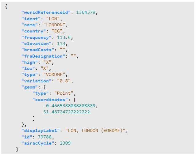
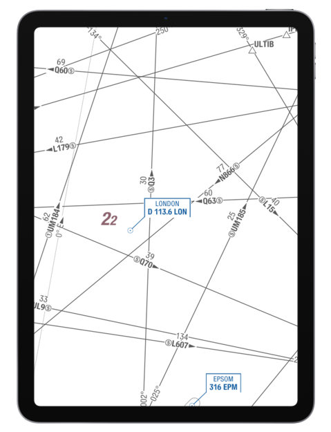
Access a collection of Navigational Aids available in Lido Charts and Lido Pilot Applications, including mPilot and mBriefing.
Types of NavAids available include NDB, VOR, DME, VORDME, ILS, ILSDME, TACAN, VORTAC.
Complete property sets and accurate geographic location is available through these endpoints:
World Reference ID
Identifier and Name
Type
ICAO Country Code
Frequency and broadcasts
High / Low Airspace availability
fraDesignation
geoJson geometry
Elevation and Magnetic Variation
Display Label
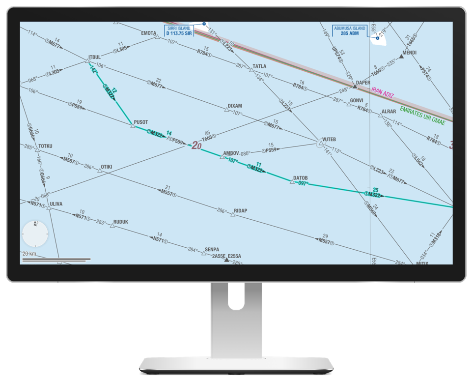
Charting Airways
Access a collection of Navigational Aids available in Lido Charts and Lido Pilot Applications, including mPilot and mBriefing.
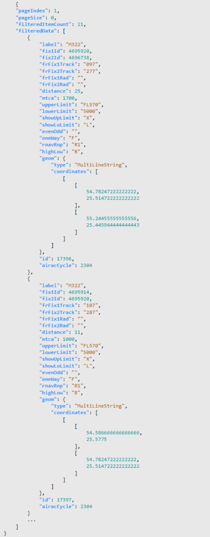
Complete property sets and accurate geographic location is available through these endpoints:
Label / Identifier
FixId (Airport or Waypoint)
Fix Tracks
Segment Distance
MTCA
Upper and Lower Limits, including Odd or Even flag
Direction
RNAV / RNP requirements
High / Low Airspace availability
geoJson geometry
Get Waypoints, NavAids and Airways by Identifier, Label* or World Reference ID
Lookup by search pattern
This endpoint allows retrieval of Waypoint, NavAid or Airway objects by Name or Country via a partial or full text search.
Querying Airspace data by AIRAC cycle and pagination features are also available on this endpoint.
Lookup by label
*For Airway objects, search by label / identifier is available. Response returns a list of segments for a particular airway a MultiLineString objects according to geoJson specification.
Querying Airspace data by AIRAC cycle and pagination features are also available on this endpoint.
Get closest objects
For both Waypoint and NavAid data, it is possible to retrieve closest objects based on a query by geographic coordinates (Lat, Long). A maximum of 50 objects in the vicinity of the lookup coordinate can be retrieved. Distance between the lookup point and the object in response can also be easily computed.
Querying Airspace data by AIRAC cycle and pagination features are also available on this endpoint.
Access the Same Data That Powers Lido Charting and Pilot Application Solutions
Always up-to-date and aligned
