Airspace API: Streamlined Airspace Data for Flight Planning

Navigation Data for more than 35,000 Aerodromes worldwide
No matter which aviation or air-transport solution you are currently using or working on, Lido Sky Data offers you navigational data for various systems and applications.
Highest quality data derived from our EASA-certified Lido FMS
The data is updated according to the AIRAC cycle and is in line with ARINC 424-22 and various other industry standards, such as the RTCA DO-200 and DO-201.
Lido Quality Guaranteed
Our data has been widely used in the aviation industry for more than 20 years. It can support you in the automation and digitalization of your labor-intense and potentially error-prone existing manual processes.
Airspace Data for All Industries: Versatile Applications and Systems Integration

Drone OPS
Drone / UAV navigation
Advanced Air Mobility (AAM)
EVTOL Operations

Charting
Briefing Production
Navigation Software
Geofencing

Flight OPS
Flight Planning
Procedure Design
Performance Calculations

And More...
Research Activities
Flight Simulation
Mapping Tools
Reliable Sources
Today’s digital environment is characterized by the emergence of disruptive technologies for which accurate data plays a crucial role.
Our team ensures the standardization and consistency of the navigational data across all sources by applying standardized coding rules in their processes. Through continuous quality checks during the coding process and at set intervals, we maintain the highest standards of accuracy and reliability for our databases.
Derived from our EASA-certified Lido FMS and in line with various industry standards such as ARINC 424-22, RTCA DO-200 and DO-201.
For more information please contact marketing@LHsystems.com.
Different queries depending on your needs
The Airspace API offers multiple ways to query and look up airspace information.
Get All FIR/UIRs
The Airspaces API GET All FIR/UIRs allows rapid retrieval of all FIR/UIR objects around the globe, in one single call.
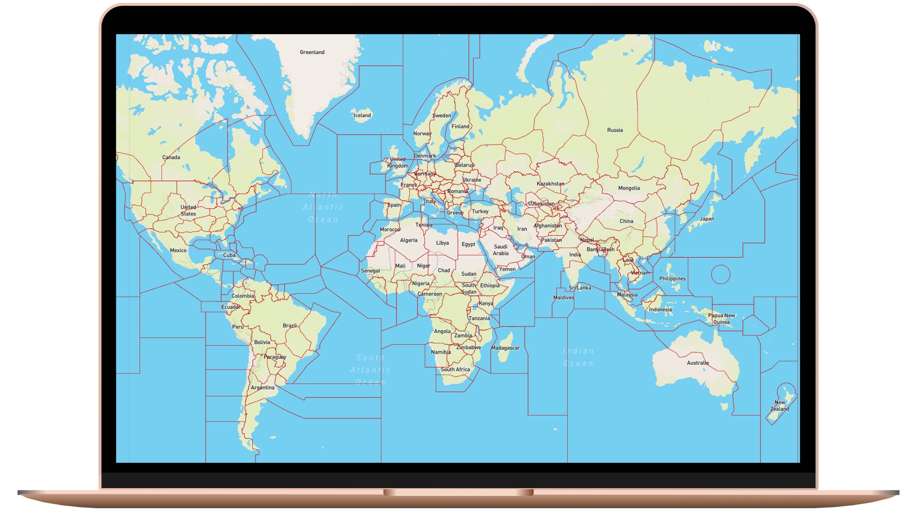
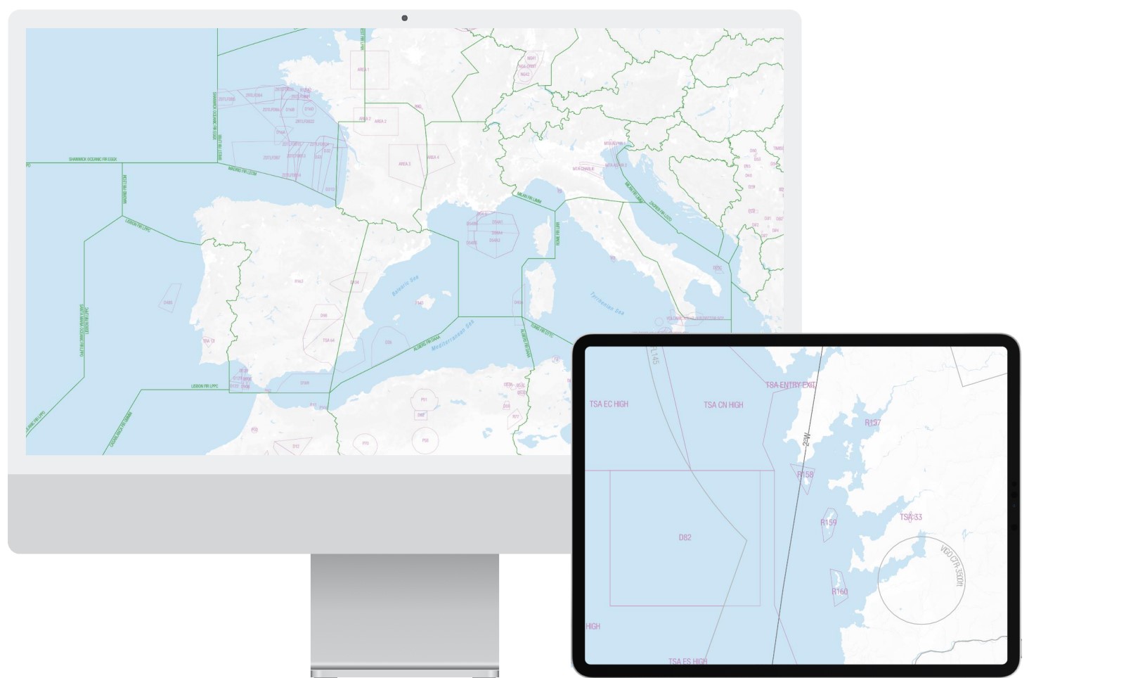
Get Airspaces by Country, FIR, LineString & Polygon with Lookup by Country or FIR Identifier
This endpoint retrieves airspace objects by Country ISO / ICAO codes as well as for a specific Flight Information Region (FIR).
Querying Airspace data by AIRAC cycle and pagination features are also available on this endpoint.
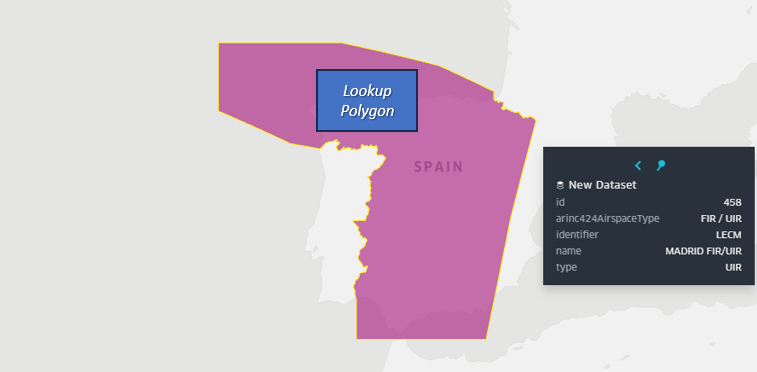
Get Airspaces that Contain the provided Lookup Polygon
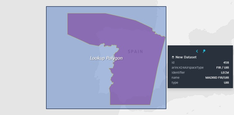
Get Airspaces that are Contained within the provided Lookup Polygon
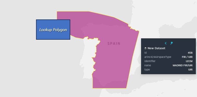
Get Airspaces that Intersect the provided Lookup Polygon or LineString
Lookup by LineString or Polygon Area
These endpoints allow the querying of all published data within a particular LineString (Route) and a lookup buffer as well as within a predefined Polygon Lookup Area, offering flexible access to global airspace information. Additional filters include:
Level of Applicability (High, Low, Both)
Airspace Type
Intersection Mode
Querying Airspace data by AIRAC cycle and pagination features are also available on these endpoints. Multiple intersection modes allow retrieval based on the geometric relation to the Lookup Area or Line.
Lookup Airspace Details for each specific object
This endpoint allows querying complete attribute information for single or multiple airspace(s) based on the Airspace ID.
Access detailed properties such as airspace class, type, upper and lower altitude limits, activation schedules, and more, tailored for precise integration into your systems.
Airspace Types for your most complex needs
Looking for specific types of airspaces? No problem, we’ve got you covered! Lufthansa Systems' Airspace API offers extensive categorization of airspace types, making it easy to filter even the most complex criteria.
ADIZ - Air Defense Identification Zone
ADV - Advisory Area
ALERT- Alert Area
ARTCC - Air Route Traffic Control Center
ASR - Altimeter Setting Region
ATZ - Aerodrome Traffic Zone
CAUTION - Caution Area
CBA - Cross Border Area
COM - Communication Sector
CTA / CTR - Control Area / Zone
DANGER - Danger Area
EMERG - Emergency Airspace
FIR - Flight Information Region
FRA - Free Route Airspace
FDA - Fuel Dumping Area
MATZ - Military Aerodrome Traffic Zone
MBZ - Mandatory Broadcast Zone
MCTR - Military Control Zone
MOA - Military Operating Area
MRVA - Minimum Radar Vectoring Altitude
MTMA - Military Terminal Area
NFZ - No Fly Zone
NPZ - No Planning Zone
OCA - Oceanic Control Area
PCA - Positive Control Area
PROHIBITED
RAD - Radar Service Area
RESTRICTED
RMZ - Radio Mandatory Zone
SRA / SRZ- Special Rules Area/Zone
TFR - Temporary Flight Restriction
TIA / TIZ - Terminal Information Area/Zone
TMA- Terminal Control Area
TMZ - Transponder Mandatory Zone
TRA - Temporary Reserved Airspace
TRAINING
TSA - Temporary Segregated Airspace
UADV - Upper Advisory Area
UIR - Upper Information Region
UTA - Upper Control Area
WARN - Warning
...and more (explore additional classifications in our extensive catalog)