Route Manual Tile API

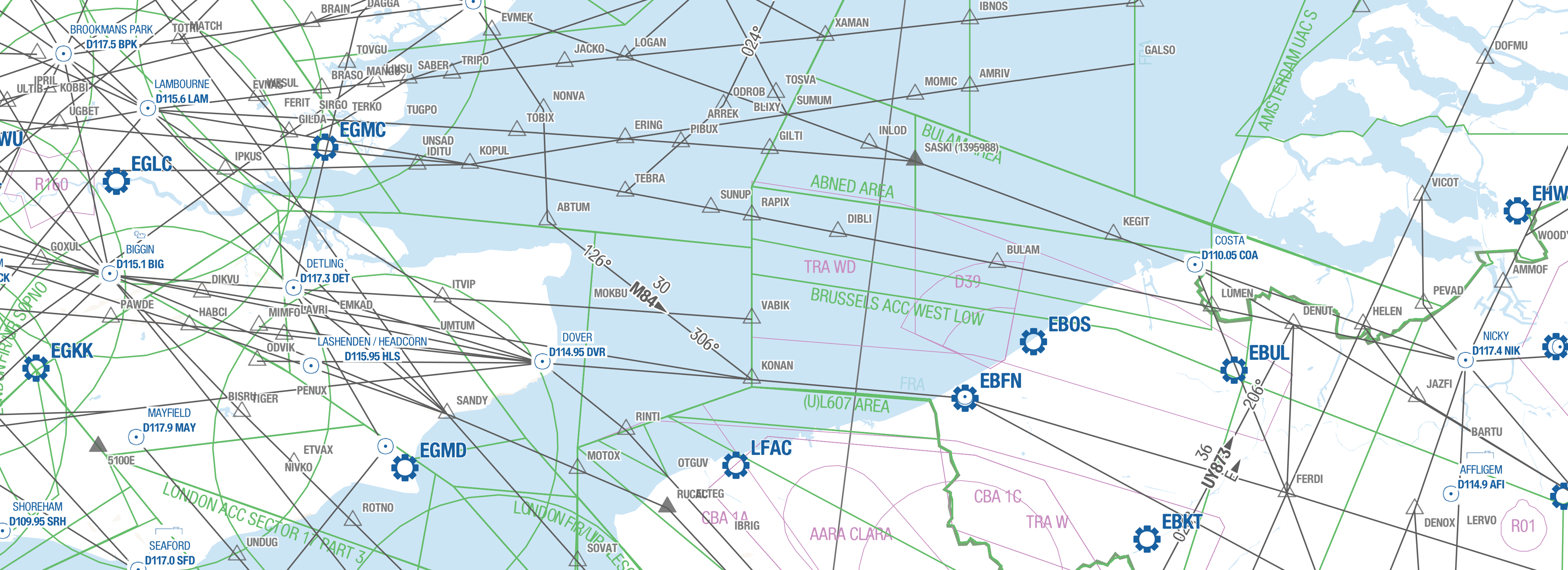
The Route Manual Tile API serves raster tiles of navigational data styled similar to the Lido Route Manual standard.
Navigation Data with Lido Route Manual Styling
Raster Tiles styling according to Lido Route Manual charting standard. Airport, airway, airspace, navaid and waypoint data in a standardized format to be used as a baselayer for your services.
Highest quality data derived from our EASA-certified Lido FMS
The data is updated according to the AIRAC cycle and is in line with ARINC 424-22 and various other industry standards, such as the RTCA DO-200 and DO-201.
Lido Quality Guaranteed
Our data has been widely used in the aviation industry for more than 20 years. It can support you in the automation and digitalization of your labor-intense and potentially error-prone existing manual processes.
XYZ Basemap Service
The XYZ protocol describes how a mapping client, often from within a browser or GIS application, can access tiled imagery. This type of integration is supported
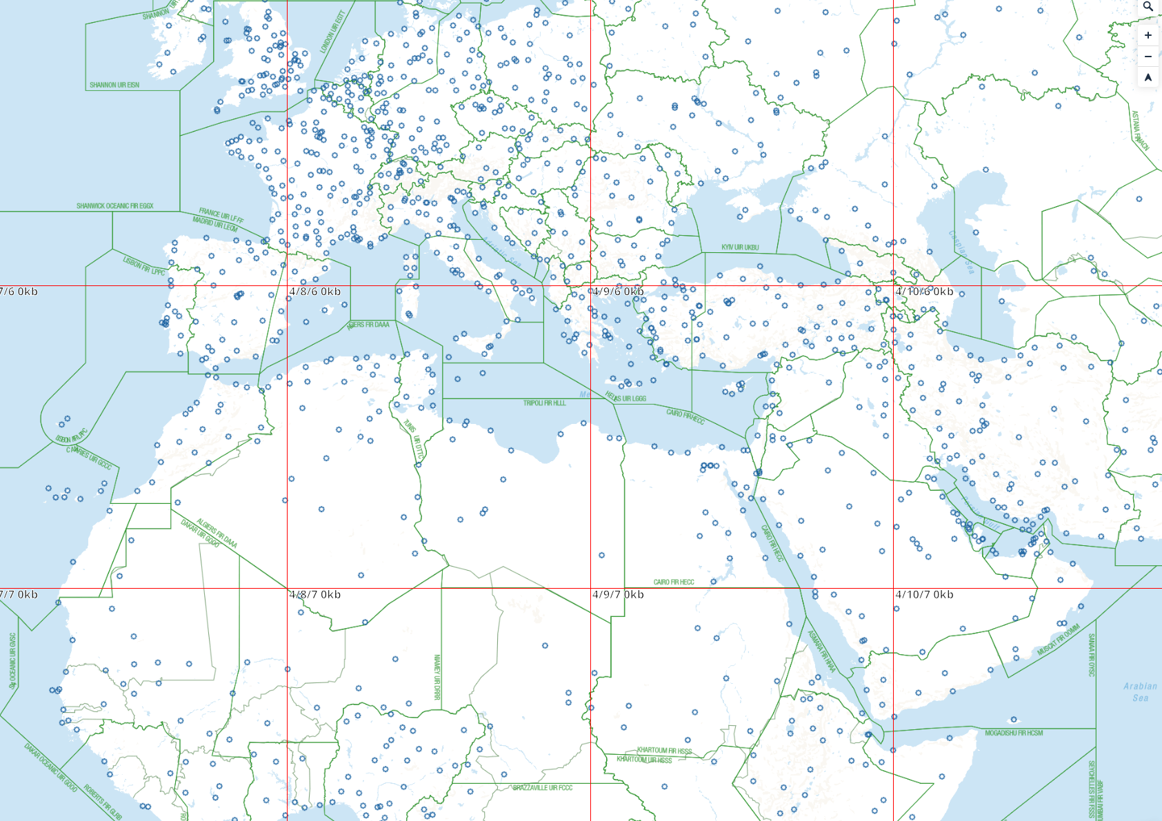
It provides a pyramid of tiles at 16 zoom levels so that it can efficiently be displayed in web browsers. As with other XYZ tiling services, XYZ tiles from the Route Manual Raster Tiles API have the following attributes:
Tiles are 256 x 256 pixels.
Tiles use the Web Mercator coordinate reference system (EPSG:3857).
Tiles are available between zoom levels 0 and 18, depending on the mosaic. If you request tiles that are a higher zoom level, you will receive oversampled tiles.
Tiles are rendered in the PNG format with an alpha channel for transparency.
Grid is a rectangle with 2z rows and 2z columns, where z is the zoom level.
The grid uses 0,0 as the top, left corner of the grid.
Tiles are found at the path z/x/y.png, where z is the zoom level, and x and y are the positions in the tile grid.
Powered by Mapbox and OpenStreetMap
The Route Manual Tile API is powered by the Mapbox Platform, build for high-performance and scalable applications. Some base data such as water and landmass are based on OpenStreetMap data, with all aeronatical information coming from trusted Lido sources.
When using the service, attribution to Mapbox and OpenStreetMap is required.

Powered by Lido Data Solutions
The map contains basedata such as landmass, political borders, water and terrain, coupled with data required for aeronatutical navigation such as:
Aerodromes
Airspaces
Airways
Navaids
Waypoints
Each dataset is styled and labeled to closely match the Lido Route Manual digital standard.